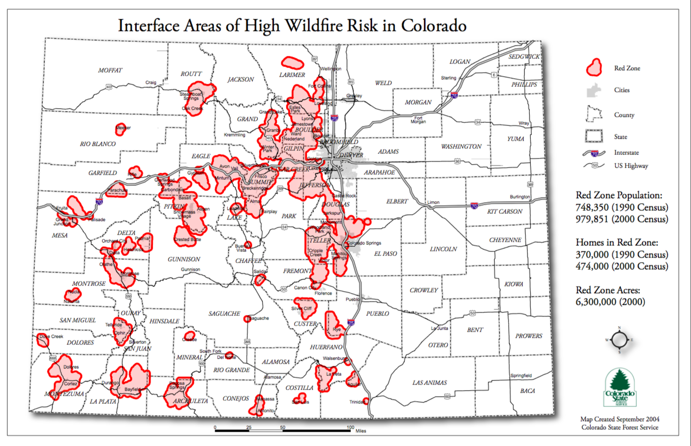
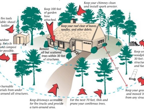
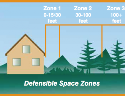
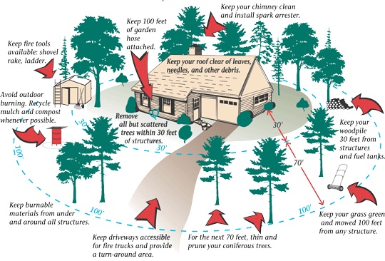
What is the Wildlife Urban Interface (WUI) and why does it matter? Over 6.6 million acres of Colorado are within this zone. This zone includes any man-made structure built within or around flammable vegetation, and especially where there exists a high possibility of wildfire risk. For El Paso county residents, the main areas within the WUI include the West Side and Black Forest. Even just within the past 6 years, both of these areas have had large fires with Waldo Canyon and Black Forest. As more people continue to move into these areas, it is valuable to educate everyone of the risks involved.
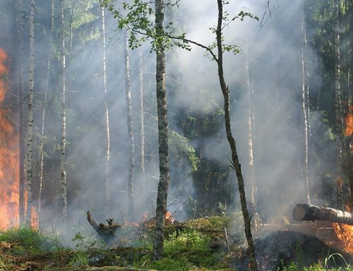
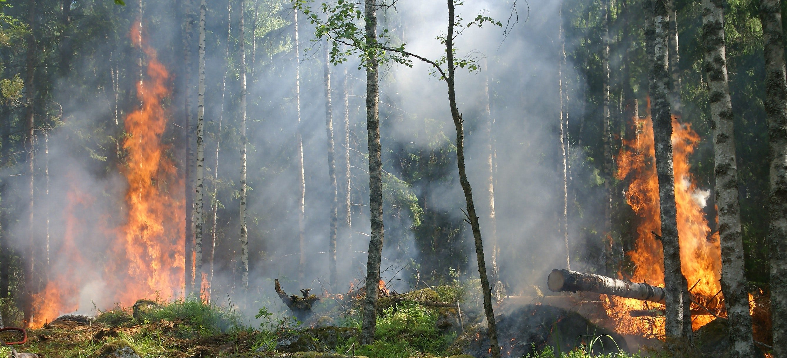
As destructive as the Waldo Canyon and Black Forest fires were, we can easily move on from these events, and forget the risks involved. Reminding ourselves of the dangers are important so that we take wildfire mitigation seriously.
Read more about the Waldo Canyon and Black Forest fires HERE and HERE.
Additionally, Colorado Springs Fire Department has a free Risk Assessment map that they have made available HERE. There are about 25 different variables that influence their decision making on risk areas.
READ MORE ABOUT 5 THINGS YOU CAN DO RIGHT NOW TO REDUCE YOUR WILDFIRE RISK.